A small start
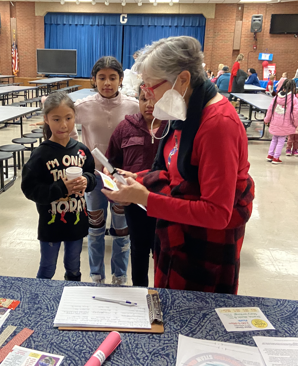
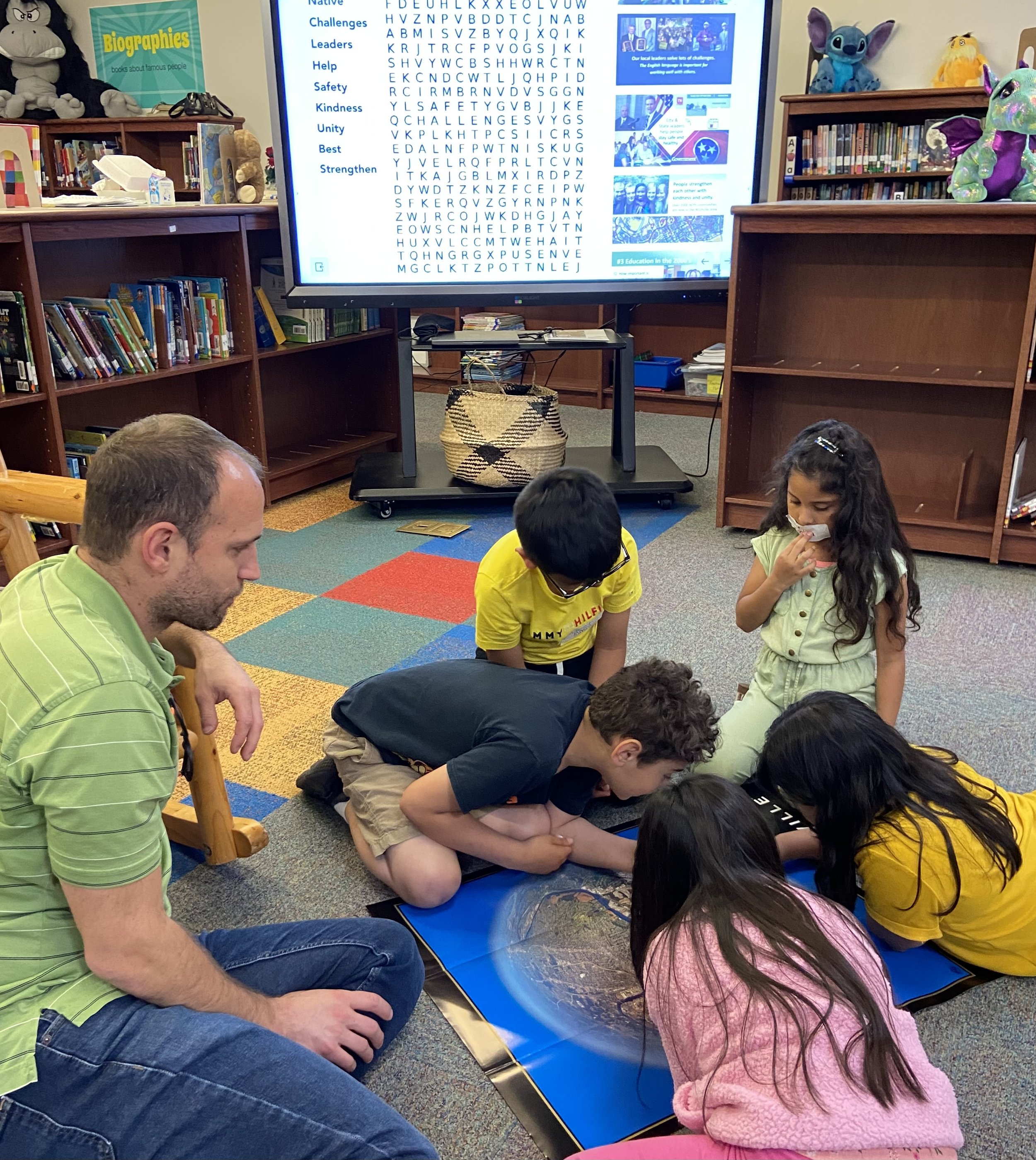
In 2019, at Glencliff Entrepreneurial Steam Magnet Elementary School (GESMES), teachers received a Planet Nashville poster for Teacher Appreciation, hatching the development of a after school history club by a community partner.
In 2021, the history club was offered virtually, then in-person. Students learned about the Cumberland River basin, the founding of the state of Tennessee, and how Nashville has become a global city.
Each student was given a Planet Nashville poster to share with their family. Visit the Google map to see today’s historical sites in Nashville, Tennessee and across America - we are continuing to add more - there are thousands to visit!
FREE Planet Nashville posters with QR code stickers easily connect viewers to this online location to engage discovery. Posters for schools and students can be ordered here, while supplies last!!
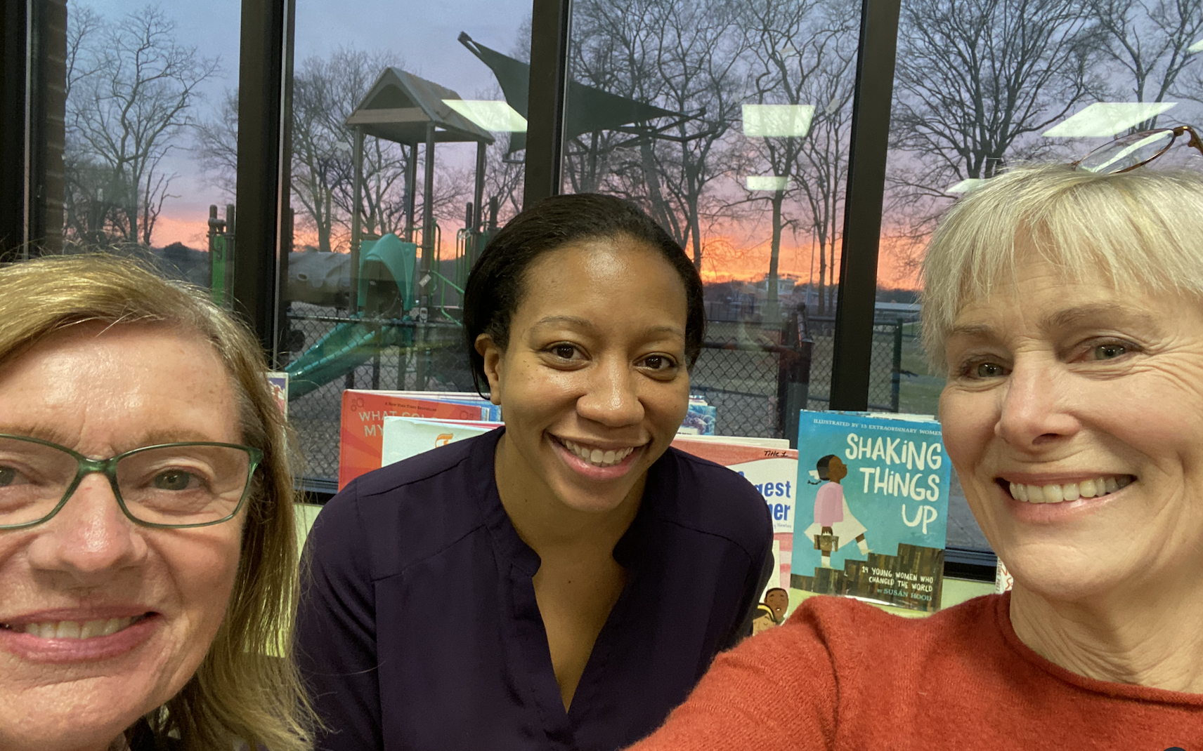
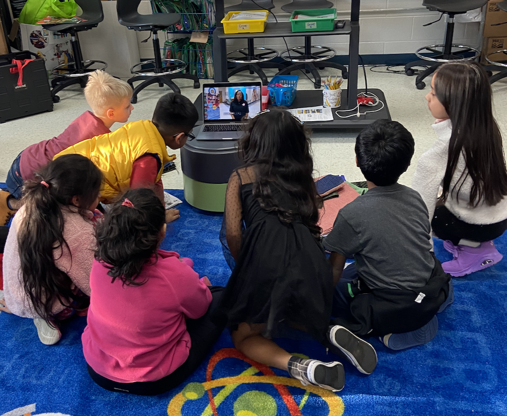
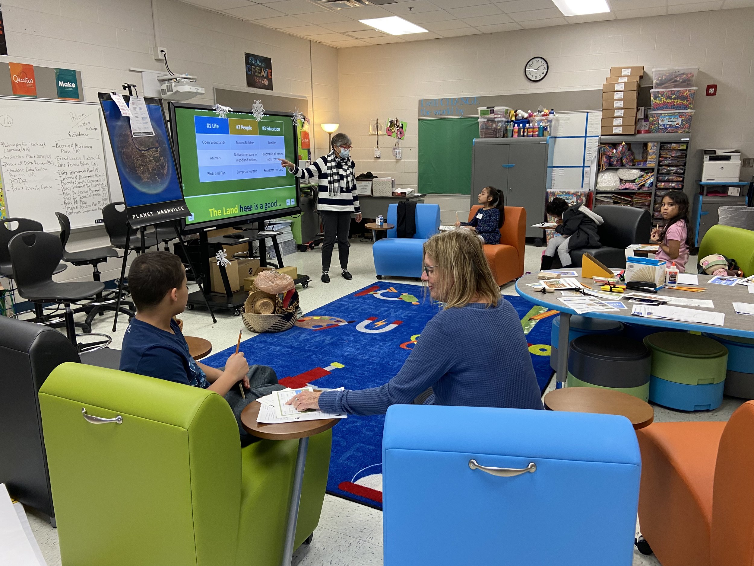
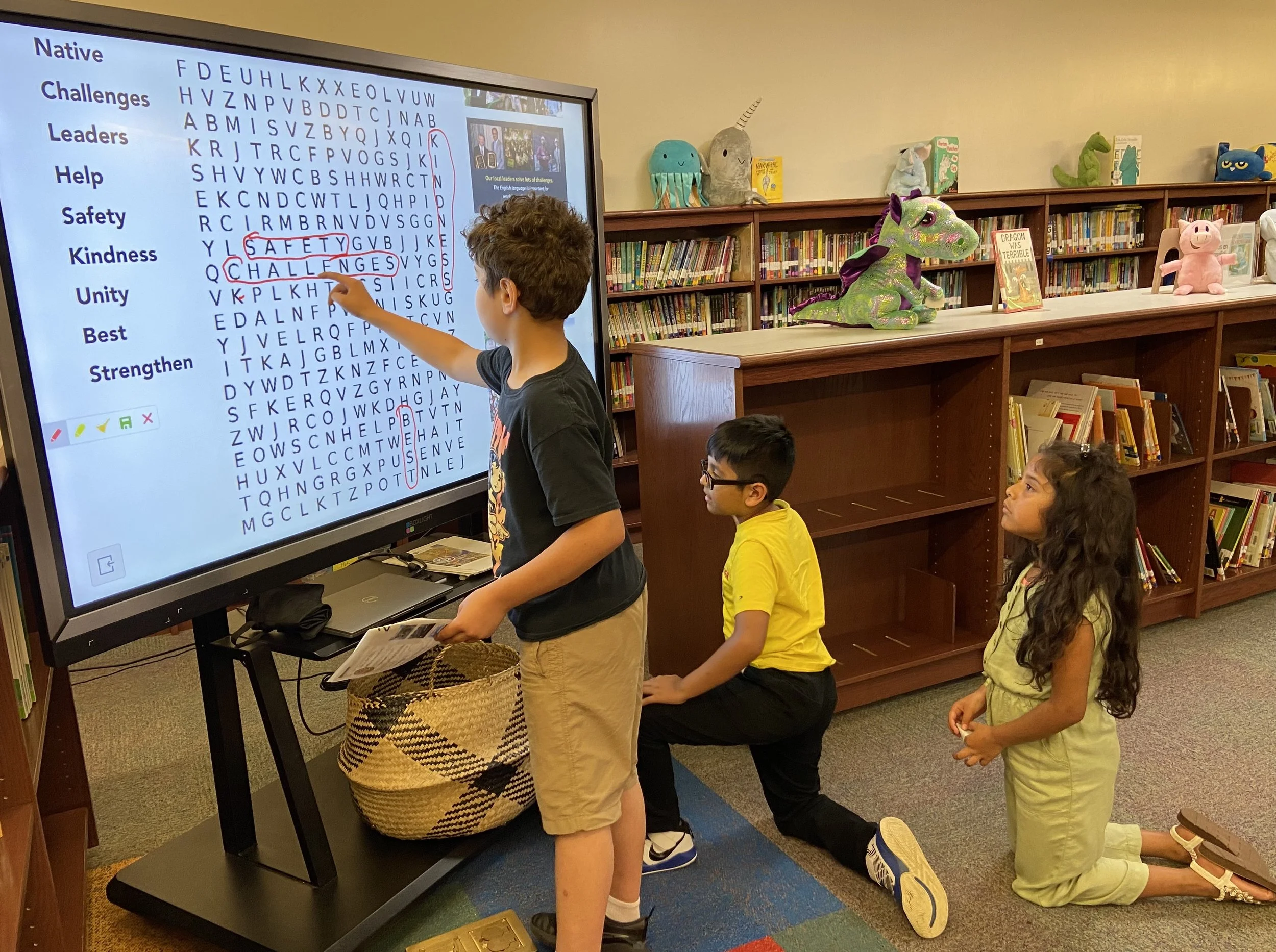
The Planet Nashville Photo-map was the idea of photographer and entrepreneur Lee Larrison, a professional studio violinist and small business owner in Nashville. Formatted by Linda Nelson, community volunteer and founder of the Nashville After School History “NASH” Club.
This one-of-kind ariel image first published for Tennessee’s Bicentennial in 1996 used a fish-eye lens and celluloid film, prior to digtal photography. Nashville’s greater metro area captures Cumberland River’s bell curves covering approximentaly 400 square miles, roughly a 12 mile radius of downtown.
Today, see Nashville’s top historic sites on a Google map helping us all celebrate this region’s remarkable past and bright future.
